Supermarket nearby Čojo
Bosnia and Herzegovina
Supermarket nearby Čojo
Čojo
Selvera Sijerčića, 73000, Goražde, Bosansko-podrinjski kanton, BA Bosnia and Herzegovina
contacts phone
:
+387 38 220-630
Latitude:
43.6690541
, Longitude:
18.9737501
larger map & directions
read more
nearest Supermarket
148 m
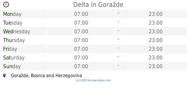
Delta
Goražde
Supermarket
read more
676 m
Usanovic d.o.o
Goražde
Supermarket
read more
1.094 km
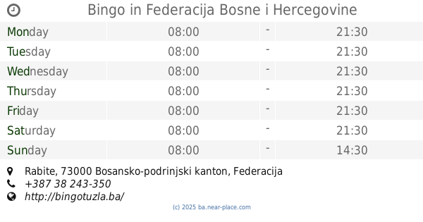
Bingo
Rabite
Supermarket
read more
2.129 km
Oniprom Market
Goražde
Supermarket
read more
2.24 km
Dino Market
Goražde
Supermarket
read more
23.534 km
SAVIC PROM 4
Svetosavska, Foča
Supermarket
read more
23.81 km
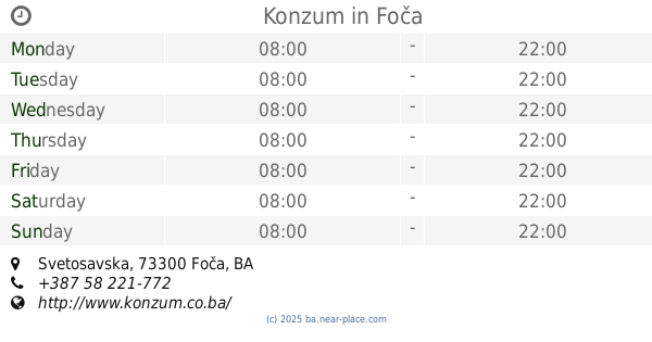
Konzum
Svetosavska, Foča
Supermarket
read more
24.113 km
Mozart prodavnica
Foča
Supermarket
read more
24.36 km
Konzum
Karađorđeva, Foča
Supermarket
read more
24.48 km
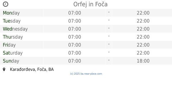
Orfej
Karađorđeva, Foča
Supermarket
read more
24.751 km
SAVIĆ PROM
Nikole Pašića, Foča
Supermarket
read more
27.136 km
SAVIC PROM 3
Brod
Supermarket
read more
28.345 km
Tropic
Palih boraca, Višegrad
Supermarket
read more
49.192 km
Amko
71000, Skenderija 25, Sarajevo
Supermarket
read more
49.277 km
Konzum
Skenderija, Sarajevo
Supermarket
read more
49.476 km
Konzum
Sarajevo
Supermarket
read more
50.595 km
Konzum
Grbavička 46, Sarajevo
Supermarket
read more
50.668 km
Amko komerc
71000, Grbavička 40, Sarajevo
Supermarket
read more
50.946 km
Best BiH
Unnamed Road, Sarajevo 71000
Supermarket
read more
51.368 km
Amko
Trg heroja 25, Sarajevo
Supermarket
read more
51.383 km
Bingo
Aleja Lipa 55, Sarajevo
Supermarket
read more
52.367 km
Amko
Prijedorska 11a, Sarajevo
Supermarket
read more
52.379 km
Konzum
Gradačačka 56, Sarajevo
Supermarket
read more
52.564 km
Bingo Hipermarket
Gradačačka, Sarajevo
Supermarket
read more
52.824 km
Bingo Dobrinja Pj32
Hamdije Kapidžića 8, Sarajevo
Supermarket
read more
📑
all categories
Accounting
Administrative area level 1
Administrative area level 2
Airport
Amusement park
Art gallery
Atm
Bakery
Bank
Bar
Beauty salon
Bicycle store
Book store
Bowling alley
Bus station
Cafe
Campground
Car dealer
Car rental
Car repair
Car wash
Casino
Cemetery
Church
City hall
Clothing store
Convenience store
Country
Courthouse
Dentist
Department store
Doctor
Electrician
Electronics store
Embassy
Establishment
Finance
Fire station
Florist
Food
Funeral home
Furniture store
Gas station
General contractor
Grocery or supermarket
Gym
Hair care
Hardware store
Health
Home goods store
Hospital
Insurance agency
Jewelry store
Laundry
Lawyer
Library
Light rail station
Liquor store
Local government office
Locality
Locksmith
Lodging
Meal delivery
Meal takeaway
Mosque
Movie rental
Movie theater
Moving company
Museum
Natural feature
Neighborhood
Night club
Park
Parking
Pet store
Pharmacy
Place of worship
Point of interest
Police
Post office
Premise
Real estate agency
Restaurant
Roofing contractor
Route
Rv park, camping
School
Shoe store
Shopping mall
Spa
Stadium
Storage
Store
Supermarket
Synagogue
Taxi stand
Train station
Transit station
Travel agency
University
Veterinary care
Zoo
administrative area level 3
sublocality level 1
↑