Restaurant nearby Restoran TEATAR
Bosnia and Herzegovina
Restaurant nearby Restoran TEATAR
Restoran TEATAR
Petog korpusa, 77000, Bihać, Unsko-sanski kanton, BA Bośnia i Hercegowina
contacts phone
:
+387 37 222-123
Latitude:
44.8124886
, Longitude:
15.8680431
larger map & directions
read more
nearest Restaurant
60 m
Pizzerija Sunce
Bihać
Restaurant
read more
71 m
Caffe Pizzeria City
Petog korpusa, Bihać
Restaurant
read more
155 m
Sofra
Bosanska, Bihać
Restaurant
read more
210 m
Atelje Club Harmani
ZAVNOBiH-a, Bihać
Restaurant
read more
272 m
Hajat
Vazduhoplovne grupe 28, Bihać
Restaurant
read more
275 m
Pizzeria KD
Bihać, Harmani H-15
Restaurant
read more
306 m
Bistro CAMINO
ZAVNOBiH-a, Bihać
Restaurant
read more
434 m
Picerija Asa
Harmanska, Bihać
Restaurant
read more
440 m
Picerija Nuove Italia
Bihać
Restaurant
read more
464 m
Poslovni centar Krajina
Bosanska 31, Bihać
Restaurant
read more
471 m
Mujo Bejzin
77000, Džemala Bijedića, Bihać
Restaurant
read more
485 m
River Una
đemala bjedića
Restaurant
read more
590 m
Pizzeria Bella Italia
H.K.Pruščaka TO 15, Bihac
Restaurant
read more
642 m
Restoran Balić
Bihać
Restaurant
read more
686 m
Lovacki dom
Bihać
Restaurant
read more
742 m
Anber restoran
Dr. Irfana Ljubijankića 43, Bihać
Restaurant
read more
794 m
Restoran Centrala
77000, Ale Galića, Bihać
Restaurant
read more
821 m
Bistro Dem
77000, Darivalaca krvi, Bihać
Restaurant
read more
831 m
M&M Restoran
Đačka 35, Bihać
Restaurant
read more
900 m
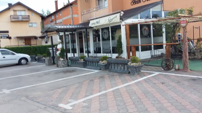
Caffe Bar Fuči
77000, Ceravačka brda, Bihać
Restaurant
read more
993 m
Abazi
Bihać
Restaurant
read more
1000 m
Kod Blanje
Bihać
Restaurant
read more
1.196 km
Amfora
Kasima Ćehajića 2, Bihać
Restaurant
read more
1.379 km
AQUA
R403a, Bihać
Restaurant
read more
1.379 km
Caffe Bar Pizzeria Aqua
R403a, Bihać
Restaurant
read more
📑
all categories
Accounting
Administrative area level 1
Administrative area level 2
Airport
Amusement park
Art gallery
Atm
Bakery
Bank
Bar
Beauty salon
Bicycle store
Book store
Bowling alley
Bus station
Cafe
Campground
Car dealer
Car rental
Car repair
Car wash
Casino
Cemetery
Church
City hall
Clothing store
Convenience store
Country
Courthouse
Dentist
Department store
Doctor
Electrician
Electronics store
Embassy
Establishment
Finance
Fire station
Florist
Food
Funeral home
Furniture store
Gas station
General contractor
Grocery or supermarket
Gym
Hair care
Hardware store
Health
Home goods store
Hospital
Insurance agency
Jewelry store
Laundry
Lawyer
Library
Light rail station
Liquor store
Local government office
Locality
Locksmith
Lodging
Meal delivery
Meal takeaway
Mosque
Movie rental
Movie theater
Moving company
Museum
Natural feature
Neighborhood
Night club
Park
Parking
Pet store
Pharmacy
Place of worship
Point of interest
Police
Post office
Premise
Real estate agency
Restaurant
Roofing contractor
Route
Rv park, camping
School
Shoe store
Shopping mall
Spa
Stadium
Storage
Store
Supermarket
Synagogue
Taxi stand
Train station
Transit station
Travel agency
University
Veterinary care
Zoo
administrative area level 3
sublocality level 1
↑