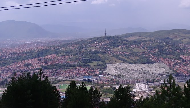
Natural feature nearby Kromolj
Bosnia and Herzegovina
Natural feature nearby Kromolj
Kromolj
Kromolj, Sarajevo 71000, Bosnien-Herzegovina
contacts phone
:
+387
Latitude:
43.8872222
, Longitude:
18.4116667
larger map & directions
read more
nearest Natural feature
1.838 km
Grdonj
Sarajevo
Natural feature
read more
2.047 km
Špicasta stijena
Sarajevo
Natural feature
read more
3.24 km
Goropec
Sarajevo
Natural feature
read more
3.374 km
Koševski potok
Sarajevo
Natural feature
read more
4.437 km
Borija
Sarajevo
Natural feature
read more
4.509 km
Debelo Brdo
Sarajevo
Natural feature
read more
4.82 km
Zlatište
Bosnia and Herzegovina
Natural feature
read more
4.82 km
Zlatište
Bosnien-Hercegovina
Natural feature
read more
5.159 km
Colina Kapa
Sarajevo
Natural feature
read more
5.752 km
Barjak
Bosnia and Herzegovina
Natural feature
read more
5.752 km
Barjak
Bosnien-Hercegovina
Natural feature
read more
6.231 km
Vidikovac
Sarajevo
Natural feature
read more
6.304 km
Percin
Bosnia and Herzegovina
Natural feature
read more
6.397 km
Prljevo Brdo
Bosnien-Hercegovina
Natural feature
read more
7.158 km
Majihnovo
Novi Grad Sarajevo
Natural feature
read more
7.206 km
Bijele stijene
Bosnia and Herzegovina
Natural feature
read more
7.285 km
Studeno Brdo
Bosnia and Herzegovina
Natural feature
read more
8.08 km
Siljevo Brdo
Bosnia y Herzegovina
Natural feature
read more
8.786 km
Pavlovac
Lukavica
Natural feature
read more
9.293 km
Kumansko Brdo
Bosnia and Herzegovina
Natural feature
read more
9.787 km
Bojista
Bosnia y Herzegovina
Natural feature
read more
12.897 km
Vrseljak
Bosnia y Herzegovina
Natural feature
read more
13.355 km
Nova Ograda
Bosnia y Herzegovina
Natural feature
read more
13.913 km
Kikovi
Bosnia y Herzegovina
Natural feature
read more
18.475 km
Butila
Bosnia y Herzegovina
Natural feature
read more
📑
all categories
Accounting
Administrative area level 1
Administrative area level 2
Airport
Amusement park
Art gallery
Atm
Bakery
Bank
Bar
Beauty salon
Bicycle store
Book store
Bowling alley
Bus station
Cafe
Campground
Car dealer
Car rental
Car repair
Car wash
Casino
Cemetery
Church
City hall
Clothing store
Convenience store
Country
Courthouse
Dentist
Department store
Doctor
Electrician
Electronics store
Embassy
Establishment
Finance
Fire station
Florist
Food
Funeral home
Furniture store
Gas station
General contractor
Grocery or supermarket
Gym
Hair care
Hardware store
Health
Home goods store
Hospital
Insurance agency
Jewelry store
Laundry
Lawyer
Library
Light rail station
Liquor store
Local government office
Locality
Locksmith
Lodging
Meal delivery
Meal takeaway
Mosque
Movie rental
Movie theater
Moving company
Museum
Natural feature
Neighborhood
Night club
Park
Parking
Pet store
Pharmacy
Place of worship
Point of interest
Police
Post office
Premise
Real estate agency
Restaurant
Roofing contractor
Route
Rv park, camping
School
Shoe store
Shopping mall
Spa
Stadium
Storage
Store
Supermarket
Synagogue
Taxi stand
Train station
Transit station
Travel agency
University
Veterinary care
Zoo
administrative area level 3
sublocality level 1
↑